Foto e video recenti dai nostri pendii
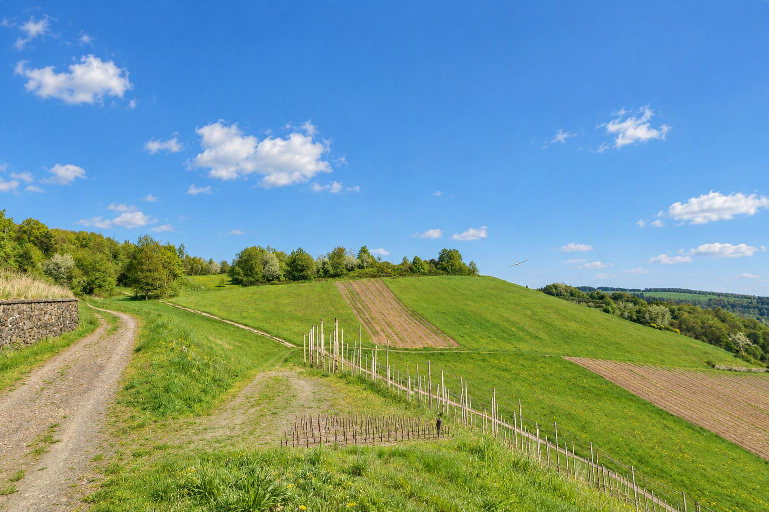


Althof
Bad Herrenalb, Bernbach, Freiolsheim
Baden Wuertemberg
Germania
Direzioni del vento favorevoli
Vento da sud-ovestVento da ovestVento da nord-ovestDeterminate automaticamente dal terreno. Controllale e confermale modificando il pendio.
Tipo
Direzioni del vento favorevoli
Eliminare questo pendio?
C’è già un pendio qui vicino. È lo stesso?
Se è lo stesso pendio, modifica quello esistente. I diversi versanti di una collina (ad es. nord e sud) possono essere pendii separati.
Le tue modifiche vengono controllate dal team di Slople prima di apparire sulla mappa.
oggi
9:00
10:00
11:00
12:00
13:00
14:00
15:00
16:00
17:00
18:00
19:00
20:00
domani
9:00
10:00
11:00
12:00
13:00
14:00
15:00
16:00
17:00
18:00
19:00
20:00
Membri
Pendii vicini
- Althof - Moosbronn
- Loffenau
- Teufelsmuehle
- Merkur Gipfel
- Auchhalder Kopf
- Merkur West und Merkur Nordost
- Bad Wildbad
- Bühlertal
Località vicine: Bad Herrenalb (3,7 km), Gaggenau (5,7 km), Loffenau (5,8 km), Karlsruhe (21 km)
Altri pendii: Germania › Baden-Württemberg
Toponimi: GeoNames (CC BY 4.0)
show warnings/errors here
Pendio per aeromodelli e parapendio · Baden-Württemberg, Germania · 220 m s.l.m.48.82289, 8.40336
I haven't actually been there but have seen it from below. Please update this section with practical experience if any of you go flying there. There is a ramp for hang gliders pointing slightly northerly. And a natural grass strip heading slightly southerly. The area is surrounded by tall trees. Flying direction is generally westerly, but since you are located above the mountain ridge to the west you would most likely be able to catch southerly and northerly winds just as well if you are prepared to fly further out a bit. (Of course only relevant to modellers) The location belongs to a paraglider and hangglider club. Please respect local rules and bird protection season. (There should be signs.) Information for modellers: Out landings may be possible below, but you need really good eyes. Landings on the slope should be possible. But it could be tricky depending on the wind. It is facing slightly south.
Spazio aereo Nordschwarzwald, Unteres Murgtal und Seitentäler
Nella posizione di questo pendio:
Nelle vicinanze (nel raggio di 500 m):
Fonte: dipul (DFS per conto del Ministero federale tedesco del Digitale e dei Trasporti), licenza CC BY-ND 4.0. Sono mostrate solo le zone geografiche pubblicate ufficialmente; senza garanzia di completezza. Prima di volare controlla anche i NOTAM e la situazione sul posto. Mappa ufficiale
Qui oggi
ancora nessuno
Ancora attuale?
non confermato