Neue Bilder und Videos von unseren Hängen
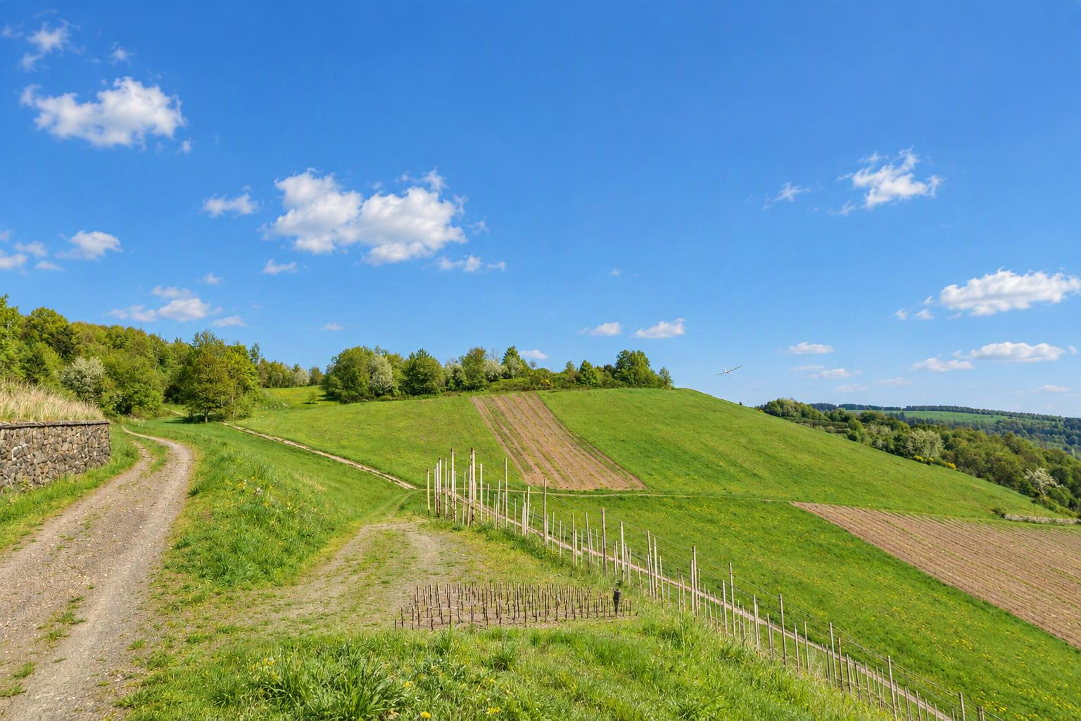


Althof
Bad Herrenalb, Bernbach, Freiolsheim
Baden Wuertemberg
Deutschland
Fliegbare Windrichtungen
SüdwestwindWestwindNordwestwindAutomatisch aus dem Gelände ermittelt. Stimmt das? Bearbeite den Hang und bestätige die Windrichtungen.
Art
Fliegbare Windrichtungen
Diesen Hang löschen?
In der Nähe gibt es schon einen Hang. Ist es derselbe?
Wenn es derselbe Hang ist, bearbeite bitte den bestehenden. Verschiedene Seiten eines Hügels (z. B. Nord und Süd) dürfen eigene Hänge sein.
Deine Änderungen werden vom Slople-Team geprüft, bevor sie auf der Karte erscheinen.
heute
9:00
10:00
11:00
12:00
13:00
14:00
15:00
16:00
17:00
18:00
19:00
20:00
morgen
9:00
10:00
11:00
12:00
13:00
14:00
15:00
16:00
17:00
18:00
19:00
20:00
Mitglieder
Hänge in der Nähe
- Althof - Moosbronn
- Loffenau
- Teufelsmuehle
- Merkur Gipfel
- Auchhalder Kopf
- Merkur West und Merkur Nordost
- Bad Wildbad
- Bühlertal
Orte in der Nähe: Bad Herrenalb (3,7 km), Gaggenau (5,7 km), Loffenau (5,8 km), Karlsruhe (21 km)
Mehr Hänge in: Deutschland › Baden-Württemberg
Ortsnamen: GeoNames (CC BY 4.0)
show warnings/errors here
Hang für Modellflug und Gleitschirm · Baden-Württemberg, Deutschland · 220 m ü. M.48.82289, 8.40336
I haven't actually been there but have seen it from below. Please update this section with practical experience if any of you go flying there. There is a ramp for hang gliders pointing slightly northerly. And a natural grass strip heading slightly southerly. The area is surrounded by tall trees. Flying direction is generally westerly, but since you are located above the mountain ridge to the west you would most likely be able to catch southerly and northerly winds just as well if you are prepared to fly further out a bit. (Of course only relevant to modellers) The location belongs to a paraglider and hangglider club. Please respect local rules and bird protection season. (There should be signs.) Information for modellers: Out landings may be possible below, but you need really good eyes. Landings on the slope should be possible. But it could be tricky depending on the wind. It is facing slightly south.
Luftraum Nordschwarzwald, Unteres Murgtal und Seitentäler
Am Standort dieses Hangs:
In der Nähe (im Umkreis von 500 m):
Quelle: dipul (DFS im Auftrag des Bundesministeriums für Digitales und Verkehr), Lizenz CC BY-ND 4.0. Angezeigt werden nur amtlich veröffentlichte geografische Gebiete; ohne Gewähr auf Vollständigkeit. Prüfe vor dem Flug bitte auch die NOTAMs und die Lage vor Ort. Amtliche Karte
Heute hier
noch niemand
Noch aktuell?
unbestätigt