Recent pictures and videos from our slopes
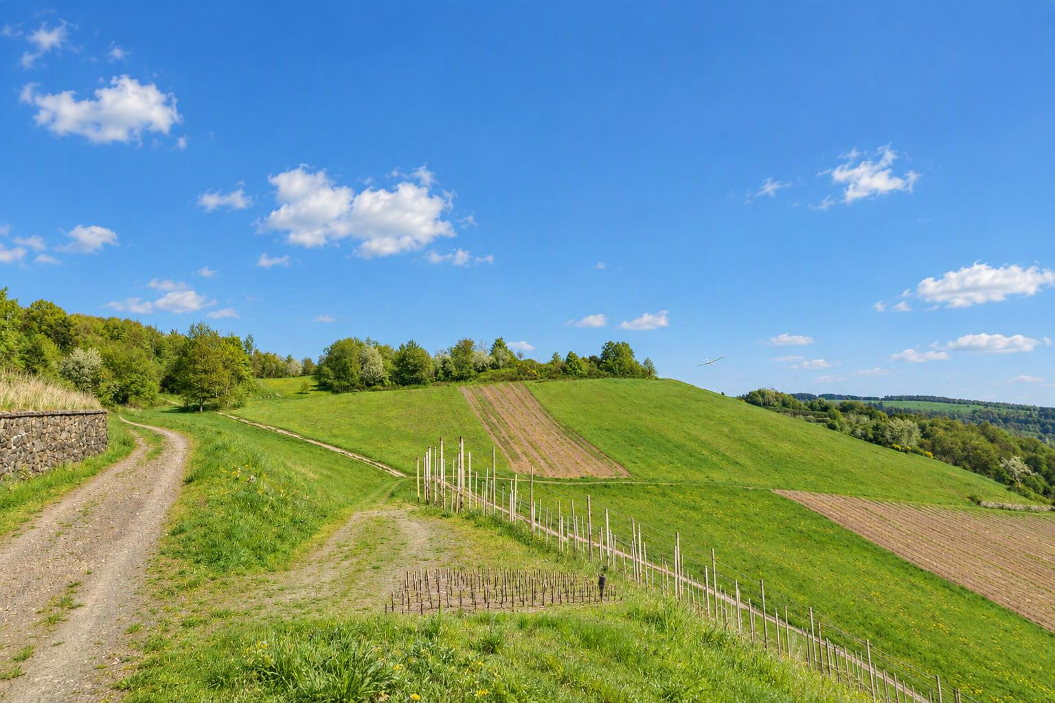


Althof
Bad Herrenalb, Bernbach, Freiolsheim
Baden Wuertemberg
Germany
Flyable winddirections
Southwest windWest windNorthwest windDetermined automatically from the terrain. Please check and confirm by editing the slope.
Slope type
Flyable winddirections
Delete this slope?
There is already a slope nearby. Is it the same one?
If it is the same slope, please edit the existing one instead. Different sides of a hill (e.g. north and south) can be separate slopes.
Your changes are checked by the Slople team before they appear on the map.
today
9:00
10:00
11:00
12:00
13:00
14:00
15:00
16:00
17:00
18:00
19:00
20:00
tomorrow
9:00
10:00
11:00
12:00
13:00
14:00
15:00
16:00
17:00
18:00
19:00
20:00
Members
Nearby slopes
- Althof - Moosbronn
- Loffenau
- Teufelsmuehle
- Merkur Gipfel
- Auchhalder Kopf
- Merkur West und Merkur Nordost
- Bad Wildbad
- Bühlertal
Villages and towns nearby: Bad Herrenalb (3.7 km), Gaggenau (5.7 km), Loffenau (5.8 km), Karlsruhe (21 km)
More slopes in: Germany › Baden-Württemberg
Place names: GeoNames (CC BY 4.0)
show warnings/errors here
Slope for RC and paragliding · Baden-Württemberg, Germany · 220 m above sea level48.82289, 8.40336
I haven't actually been there but have seen it from below. Please update this section with practical experience if any of you go flying there. There is a ramp for hang gliders pointing slightly northerly. And a natural grass strip heading slightly southerly. The area is surrounded by tall trees. Flying direction is generally westerly, but since you are located above the mountain ridge to the west you would most likely be able to catch southerly and northerly winds just as well if you are prepared to fly further out a bit. (Of course only relevant to modellers) The location belongs to a paraglider and hangglider club. Please respect local rules and bird protection season. (There should be signs.) Information for modellers: Out landings may be possible below, but you need really good eyes. Landings on the slope should be possible. But it could be tricky depending on the wind. It is facing slightly south.
Airspace Nordschwarzwald, Unteres Murgtal und Seitentäler
At the position of this slope:
Nearby (within 500 m):
Source: dipul (DFS on behalf of the Federal Ministry for Digital and Transport), licence CC BY-ND 4.0. Only officially published geographical zones are shown; no guarantee of completeness. Please also check NOTAMs and the conditions on site before you fly. Official map
Here today
nobody yet
Still up to date?
not confirmed yet