Photos et vidéos récentes de nos pentes
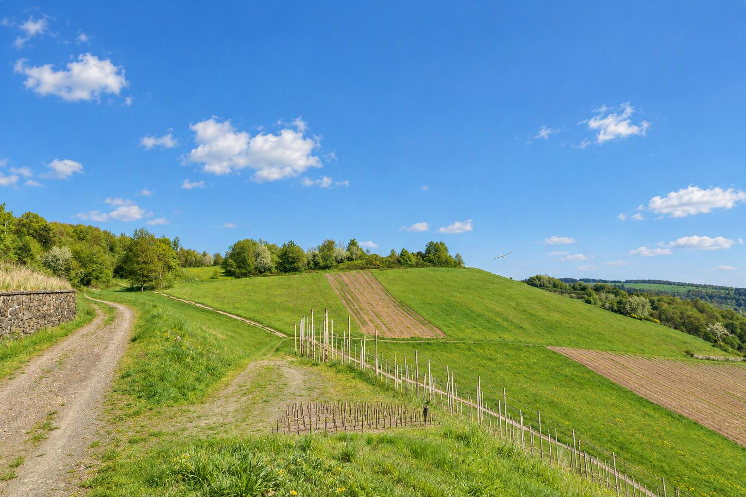


MSC St. Johann
St. Johann in Tirol
Tirol
Autriche
Directions de vent favorables
Vent du nordVent du nord-estVent du nord-ouestDéterminées automatiquement à partir du relief. Vérifie-les et confirme-les en modifiant la pente.
Type
Directions de vent favorables
Supprimer cette pente ?
Il y a déjà une pente à proximité. Est-ce la même ?
S’il s’agit de la même pente, modifie plutôt celle qui existe. Les différents versants d’une colline (p. ex. nord et sud) peuvent être des pentes distinctes.
Tes modifications sont vérifiées par l’équipe Slople avant d’apparaître sur la carte.
aujourd'hui
9:00
10:00
11:00
12:00
13:00
14:00
15:00
16:00
17:00
18:00
19:00
20:00
demain
9:00
10:00
11:00
12:00
13:00
14:00
15:00
16:00
17:00
18:00
19:00
20:00
Membres
Pentes à proximité
- Oberhalb der Müllneralm - auf der Stanglalm
- Harschbichl
- Hahnenkamm
- Hartkaser
- Biedringer Platte
- Buchenstein in St.Ulrich
- Unterberghorn
- Lärchfilzhochalm in Fieberbrunn - Hochfilzalm
Localités à proximité : Sankt Johann in Tirol (1,2 km), Oberndorf in Tirol (4,0 km), Kirchdorf in Tirol (4,8 km)
Autres pentes : Autriche › Tyrol
Noms de lieux : GeoNames (CC BY 4.0)
show warnings/errors here
Pente de vol RC · Tyrol, Autriche · 800 m d'altitude47.51381, 12.43191
Hangflugplatz des MSC St. Johann, Gastflieger nur nach Absprache mit dem Vorstand. Es gelten die Platzregeln. Flitsche vorhanden. Achtung: der Wald rechts ist ein richtiges "Bermudadreieck"
Espace aérien Flugplatz St. Johann/Tirol (LOIJ), Hubschrauberlandeplatz St. Johann/Tirol KH (LOIT)
À l’emplacement de cette pente :
Source : Austro Control / Dronespace, licence CC BY 4.0, abrégé. Seules les zones géographiques publiées officiellement sont affichées ; les réserves naturelles ne figurent pas dans ces données. Sans garantie d’exhaustivité. Avant de voler, consulte aussi les NOTAM et la situation sur place. Carte officielle
Vent en direct
Avec Pro : mesure de Kitzbuehel (8.4 km)
Ici aujourd’hui
encore personne
Toujours d’actualité ?
non confirmée