Recent pictures and videos from our slopes
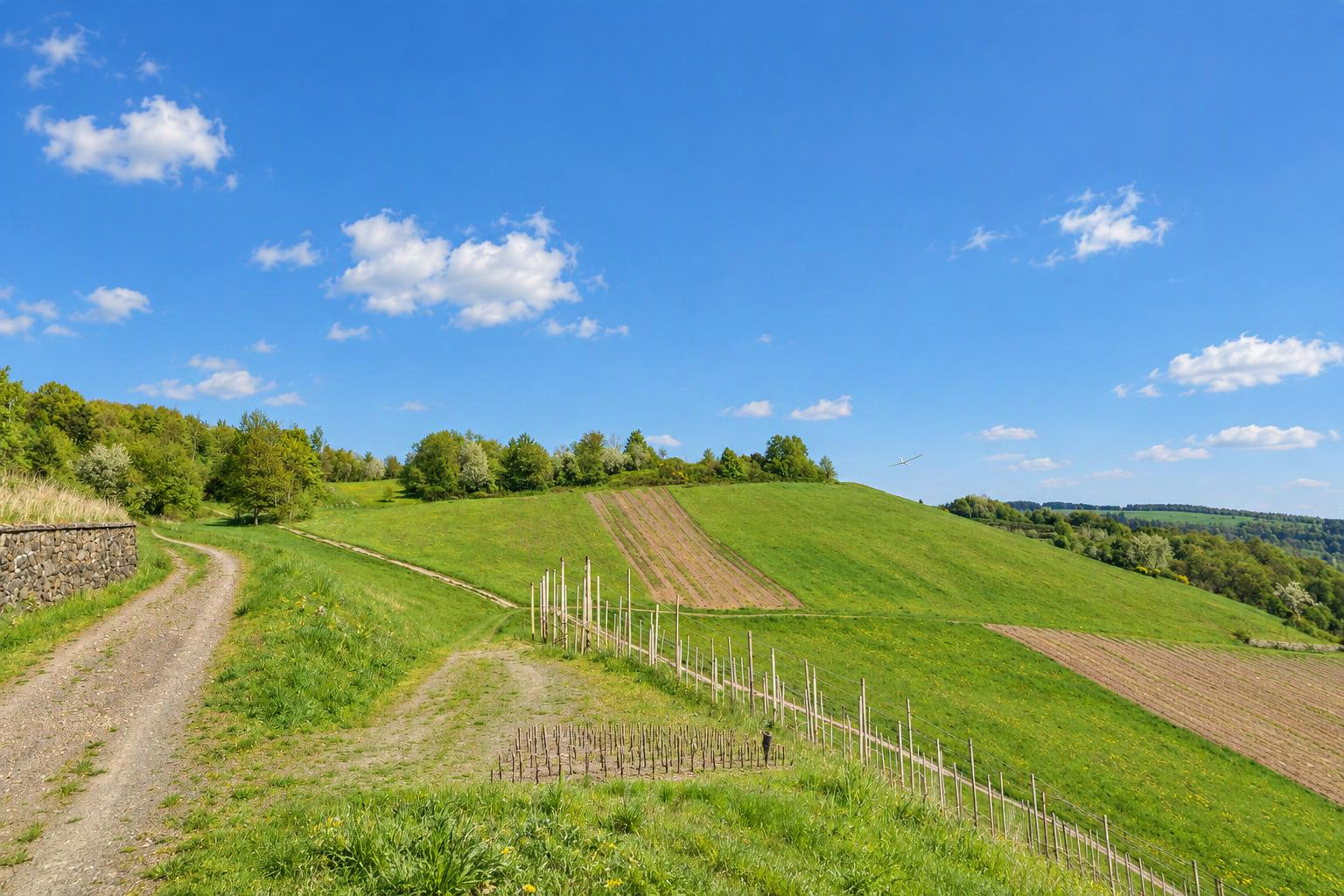


Aflenzer Buergeralm
Aflenz
Steiermark
Austria
Flyable winddirections
North windSouth windSouthwest windWest windDetermined automatically from the terrain. Please check and confirm by editing the slope.
Slope type
Flyable winddirections
Delete this slope?
There is already a slope nearby. Is it the same one?
If it is the same slope, please edit the existing one instead. Different sides of a hill (e.g. north and south) can be separate slopes.
Your changes are checked by the Slople team before they appear on the map.
today
9:00
10:00
11:00
12:00
13:00
14:00
15:00
16:00
17:00
18:00
19:00
20:00
tomorrow
9:00
10:00
11:00
12:00
13:00
14:00
15:00
16:00
17:00
18:00
19:00
20:00
Members
show warnings/errors here
Slope for RC and paragliding · Styria, Austria · 1,759 m above sea level47.57801, 15.22435
Der Hang ist über eine 15km lange Schotter- Mautstrasse zu erreichen, die Maut kostet 9€ für Schäden am PKW aufgrund des Strassenzustandes oder Felssturz haftet der Strassenbetreiber nicht! Danach muss vom Parkplatz aus ein Fußmarsch die 300 Höhenmeter hoch zur Startstelle angetreten werden, dieser dauert ca. 30 bis 40 Minuten. Am Landefeld muss auf die Wanderer und unzähligen Kühe Acht gegeben werden. Wenn Gleitschirme starten und am Hang fliegen wird das Modellfliegen beschwerlich und muss mit den Gleitschirmen vorher abgestimmt werden.
Airspace Militärischer Nahkontrollbezirk Zeltweg (LOXZ5)
At the position of this slope:
Source: Austro Control / Dronespace, licence CC BY 4.0, shortened. Only officially published geographical zones are shown; nature reserves are not included in this data. No guarantee of completeness. Please also check NOTAMs and the conditions on site before you fly. Official map
Live wind
With Pro: live reading from Aflenz (3.8 km)
Here today
nobody yet
Still up to date?
not confirmed yet