Recent pictures and videos from our slopes
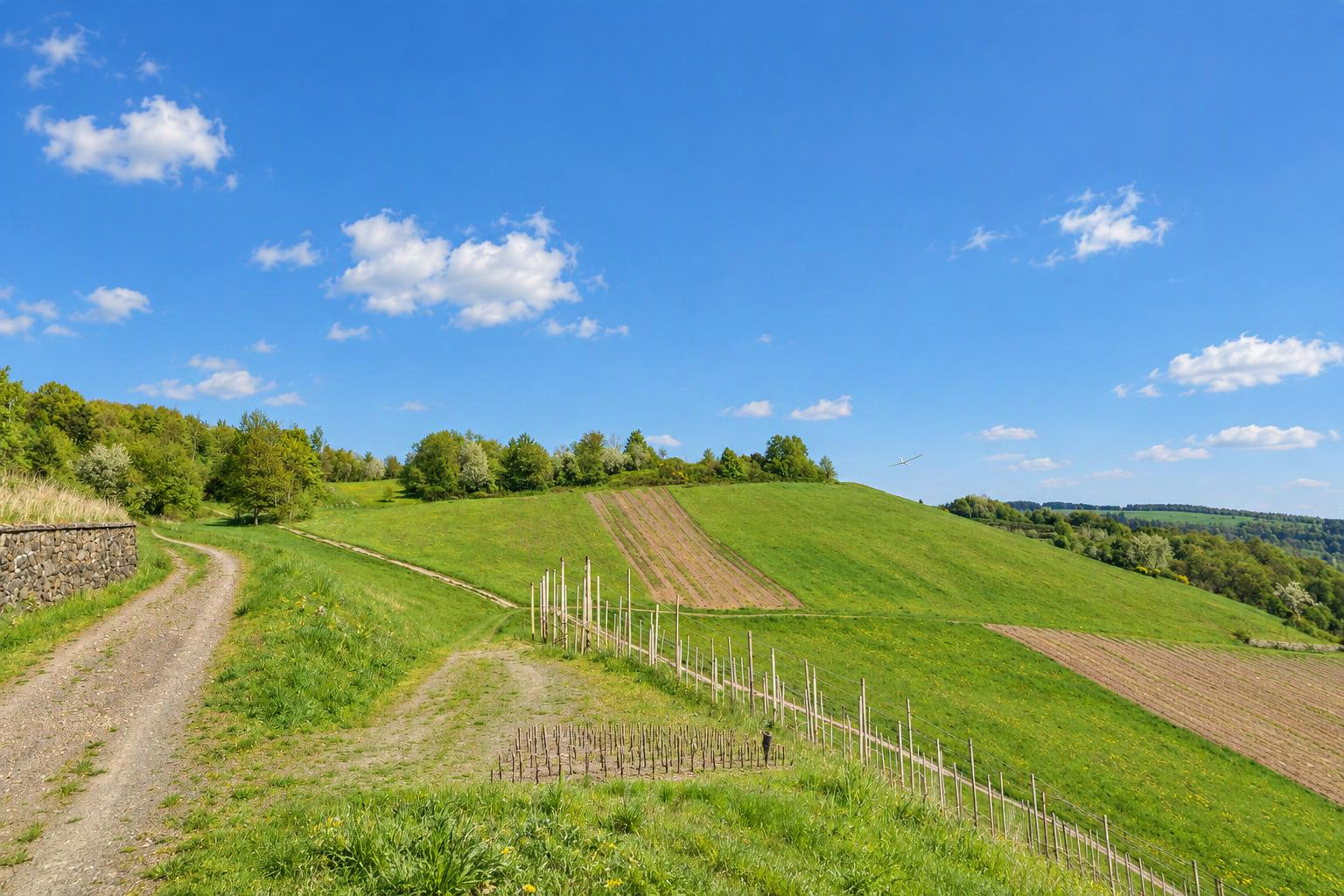


Waschberg
Wien, Stockerau
Niederösterreich
Austria
Flyable winddirections
Southwest windWest windNorthwest windDetermined automatically from the terrain. Please check and confirm by editing the slope.
Slope type
Flyable winddirections
Delete this slope?
There is already a slope nearby. Is it the same one?
If it is the same slope, please edit the existing one instead. Different sides of a hill (e.g. north and south) can be separate slopes.
Your changes are checked by the Slople team before they appear on the map.
today
9:00
10:00
11:00
12:00
13:00
14:00
15:00
16:00
17:00
18:00
19:00
20:00
tomorrow
9:00
10:00
11:00
12:00
13:00
14:00
15:00
16:00
17:00
18:00
19:00
20:00
Members
Nearby slopes
- Michelberg
- Stettner
- Oberleiserberg
- unterm Kahlenberg (Sender)
- nähe Niederleis
- Löwygrube
- Perchtholdsdorfer Haide
Villages and towns nearby: Leitzersdorf (2.0 km), Oberrohrbach (3.1 km), Niederhollabrunn (3.7 km), Vienna (25 km)
More slopes in: Austria › Lower Austria
Place names: GeoNames (CC BY 4.0)
show warnings/errors here
RC slope · Lower Austria, Austria · 369 m above sea level48.42119, 16.27249
The slope is reached after a 15 minutes walk. No access by car. Parking at the Parking at Michelberg (lot of space for parking!) or in Wollmannsberg (not much space and please attantion to the free entrance and exit for agricultural machines (espacially in spring and autum!)
Airspace Militärischer Nahkontrollbezirk Langenlebarn (LOXT2)
At the position of this slope:
Source: Austro Control / Dronespace, licence CC BY 4.0, shortened. Only officially published geographical zones are shown; nature reserves are not included in this data. No guarantee of completeness. Please also check NOTAMs and the conditions on site before you fly. Official map
Live wind
With Pro: live reading from Stockerau (6.2 km)
Here today
nobody yet
Still up to date?
not confirmed yet