Recent pictures and videos from our slopes
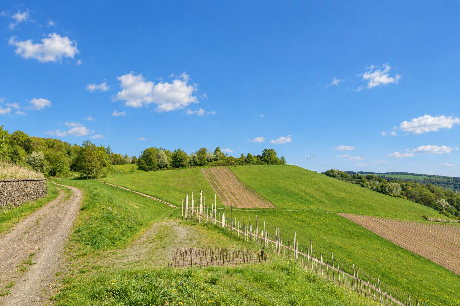


Klippeneck
Denkingen
Baden Wuertemberg
Germany
Flyable winddirections
Southwest windDetermined automatically from the terrain. Please check and confirm by editing the slope.
Slope type
Flyable winddirections
Delete this slope?
There is already a slope nearby. Is it the same one?
If it is the same slope, please edit the existing one instead. Different sides of a hill (e.g. north and south) can be separate slopes.
Your changes are checked by the Slople team before they appear on the map.
today
9:00
10:00
11:00
12:00
13:00
14:00
15:00
16:00
17:00
18:00
19:00
20:00
tomorrow
9:00
10:00
11:00
12:00
13:00
14:00
15:00
16:00
17:00
18:00
19:00
20:00
Members
Nearby slopes
- Klippeneck - Holzhalle
- Dreifaltigkeitsberg
- Denkingen-Süd
- Gosheim Radarturm
- Höfle-Kante
- Ortenberg - Schrott
- Boettingen
- Burghalde
Villages and towns nearby: Denkingen (1.4 km), Gosheim (3.3 km), Böttingen (3.4 km), Villingen-Schwenningen (20 km)
More slopes in: Germany › Baden-Württemberg
Place names: GeoNames (CC BY 4.0)
show warnings/errors here
RC slope · Baden-Württemberg, Germany · 990 m above sea level48.10489, 8.75444
Klippeneck ist Segelfluggelaände! - Modellflug nur möglich, wenn kein Segelflugbetrieb! - Kein Segelflugbetrieb: Alle Hallentore geschlossen oder sich den modellfliegenden Segelfliegern anschliessen und abstimmen! - Landung: zwischen Hangkante und Zaun zum Flugplatz (wer trifft) oder auf dem Segelflugplatz - Aussenlandung: sehr schwierig - Hangaufwind: sehr gut - Thermik: sehr gut
Airspace Klippeneck, Südwestalb und Oberes Donautal +1
At the position of this slope:
Nearby (within 500 m):
Source: dipul (DFS on behalf of the Federal Ministry for Digital and Transport), licence CC BY-ND 4.0. Only officially published geographical zones are shown; no guarantee of completeness. Please also check NOTAMs and the conditions on site before you fly. Official map
Here today
nobody yet
Still up to date?
not confirmed yet